

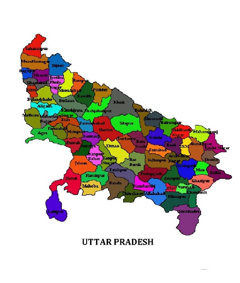
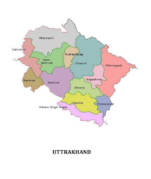
(Left) Map of India showing location of Uttar Pradeshand UttraKhand,(right) the coverage districts (Saharanpur, Muzaffarnagar, Baghpat, Meerut, Ghaziabad, Shamli, Hapur, Amroha, Moradabad, Sambhal, Rampur, Dhampur Tehsil, Dehradun and Haridwar).) in Uttar Pradesh and UttraKhand.
Meerut (Diocese) consists of fourteen civil districts of Meerut, Saharanpur and Moradabad divisions. Meerut is one of the most important metropolitan city in the Northern part of India. The town, situated in Western Uttar Pradesh has got a long history behind it. The city was the part of Hastinapur Empire of Kaurvas that ruled the Vedic India and was the protagonists of Hindu Epic of Mahabharata.
The city is located 70 km (43 mi) northeast of the national capital New Delhi, and 453 km northwest of the state capital, Lucknow. It has the 2nd largest army cantonment in the country. The revolution of 1857 was first started from Meerut by Mangal Pandey. According to another version Maya, a distinguished architect, got from king Yudhishthara the land on which the city of Meerut now stands and he called this place Mayrashtra, a name which in course of time became shortened to Meerut.
MSS has concentrated its involvement in the selected villages of development blocks in eleven civil districts, namely Meerut, Muzaffarnagar, Saharanpur, Baghpat, Shamli, Ghaziabad, Rampur, Moradabad, Sambhal, Hapur and Amroha. In all these blocks activities are centered around our Community Centers (Mission Stations).